English Map, Framed
Product ID: P0700-217
$1,495.00
About this piece
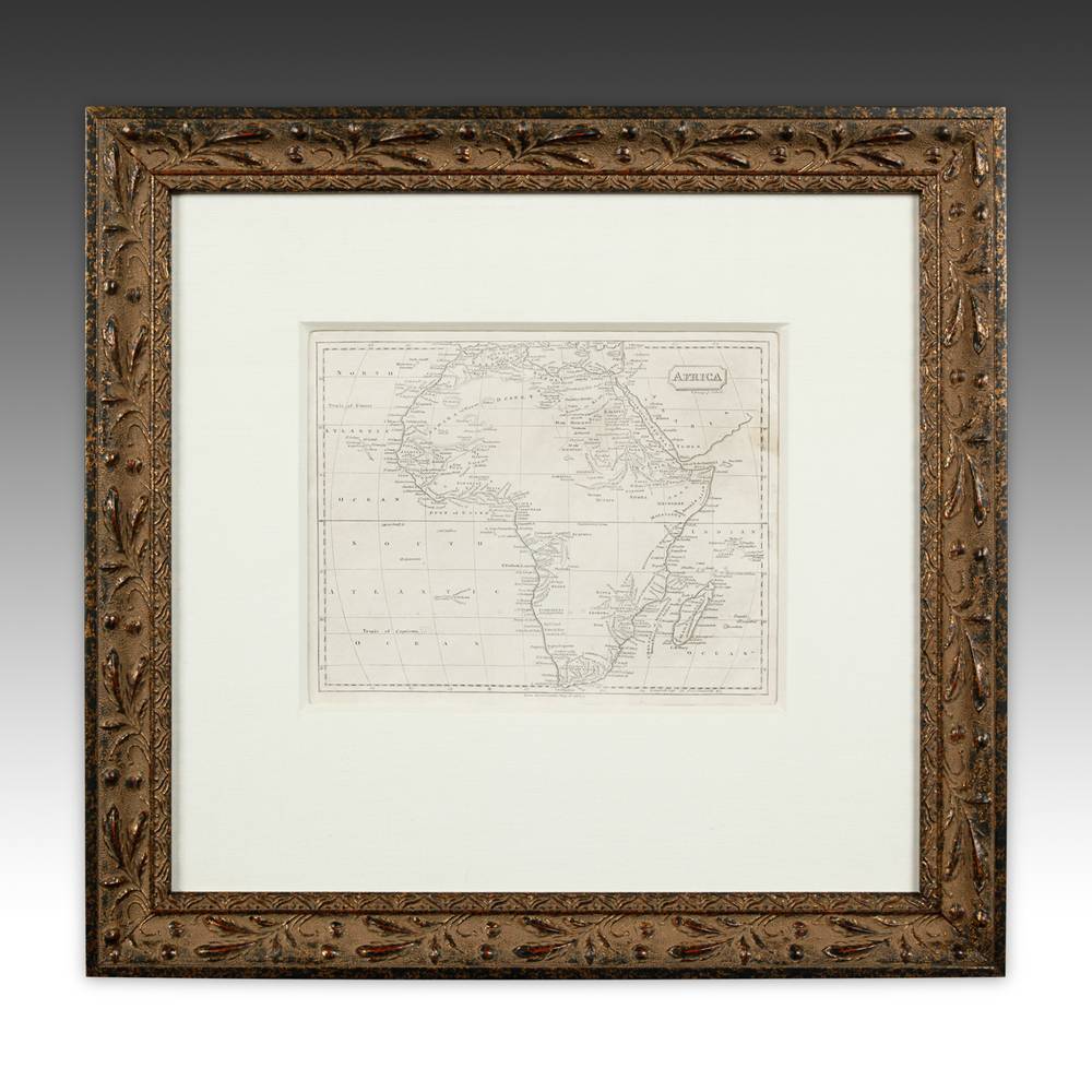
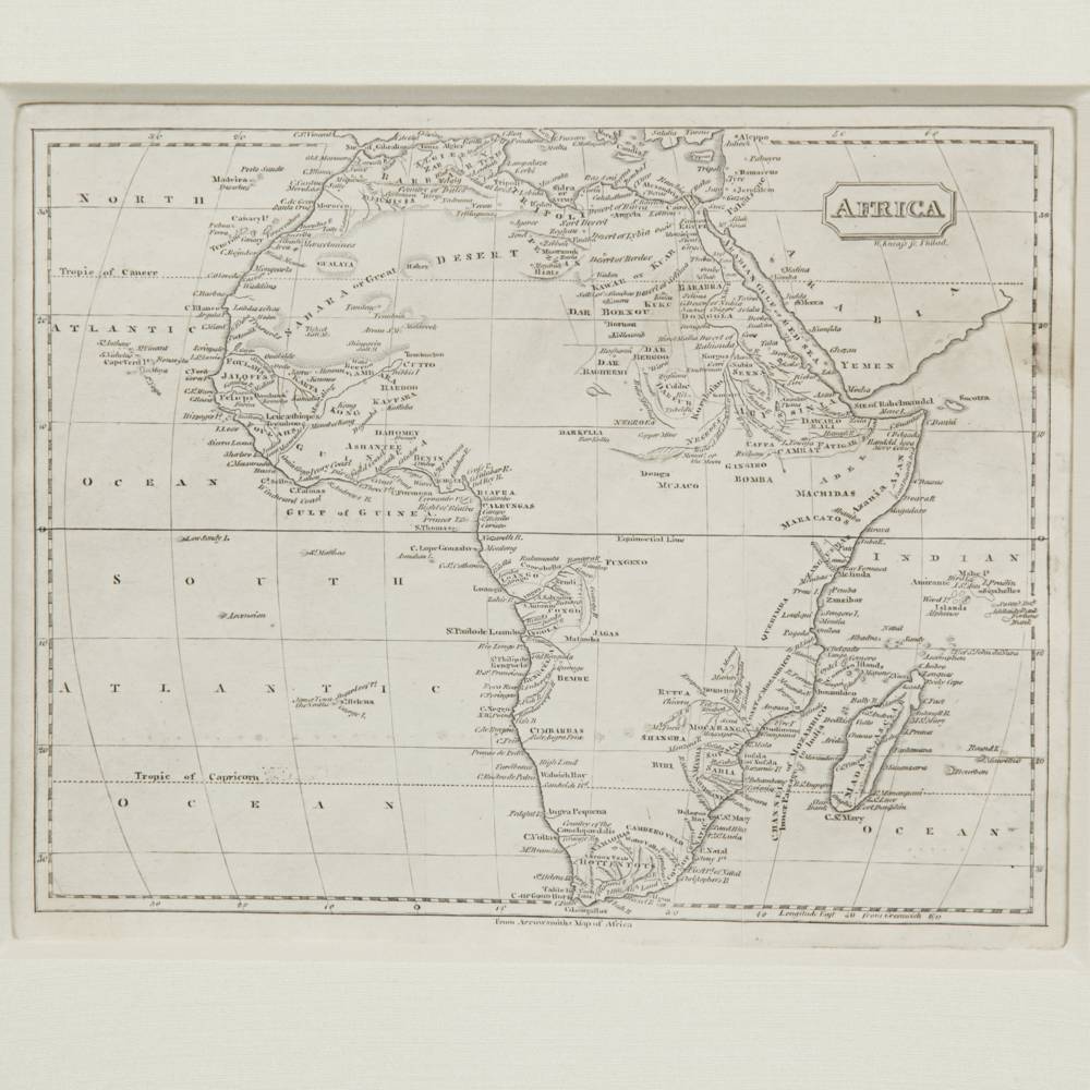
A coastline crowded with names and an interior left mostly to the imagination.
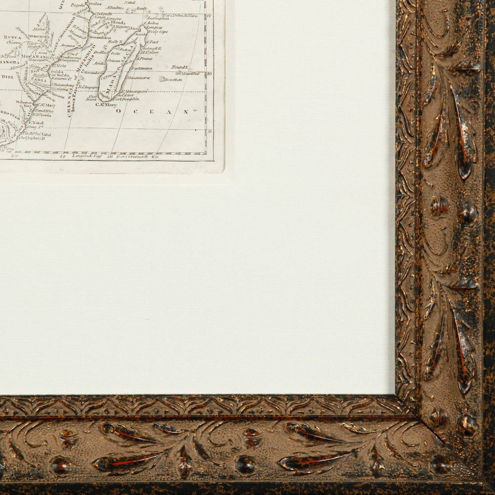
This framed map of Africa comes from London, England, United Kingdom, and is dated 1788, in ink on paper. European maps of the period charted the African coast in close detail while the interior was still largely unknown to them. The continent is drawn in fine engraved line, with place names packed along the shores, latitude lines crossing the sea and Madagascar off the east coast. The sheet floats in a cream mat inside a gilt frame carved with laurel leaves. It is 18.5 inches wide and 17.5 high.
Thorough at the edges, modest in the middle, as honest maps tend to be.
More pieces like this
-
Prints & Engravings Fine Art
Hand Colored Engraving by Jhoola A.: Scene on the Tonse River in India
$695.00 -
Prints & Engravings Fine Art
Hand Colored Engraving by T. Allom: Great Temple of Honan in Canton
$995.00