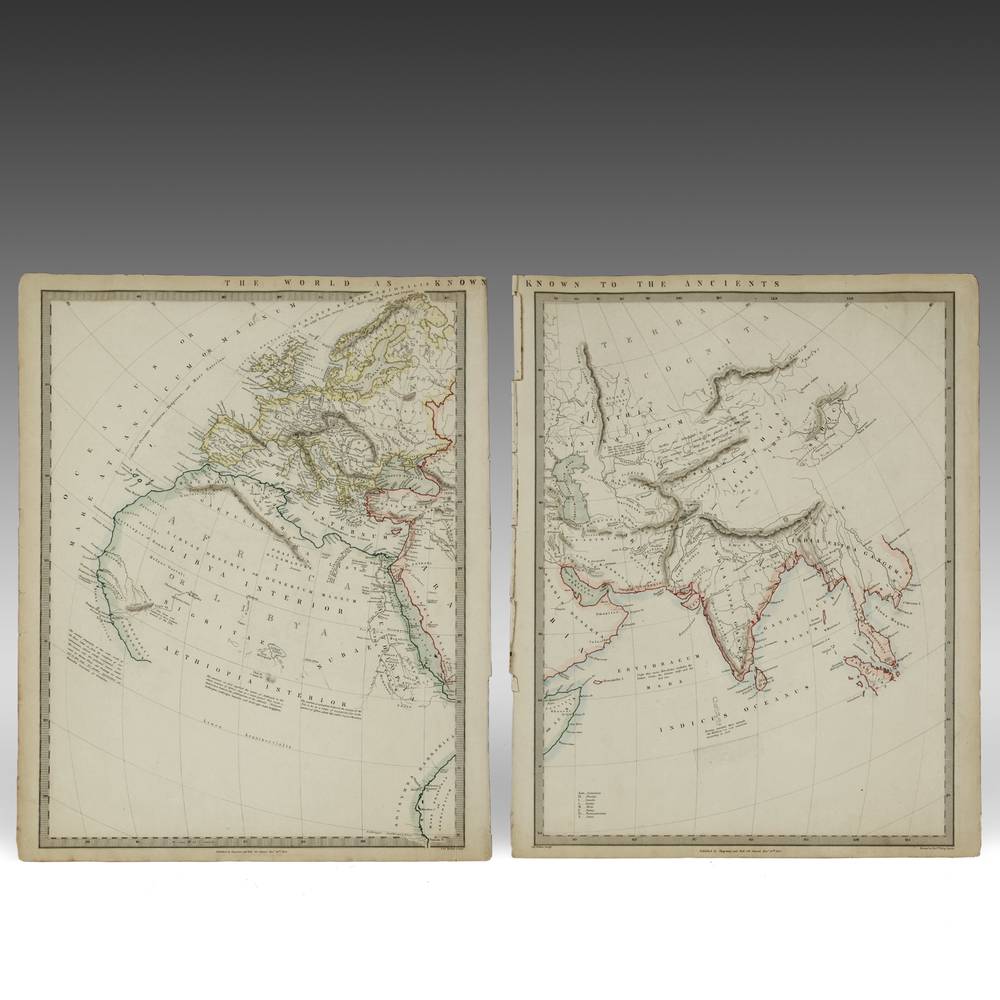
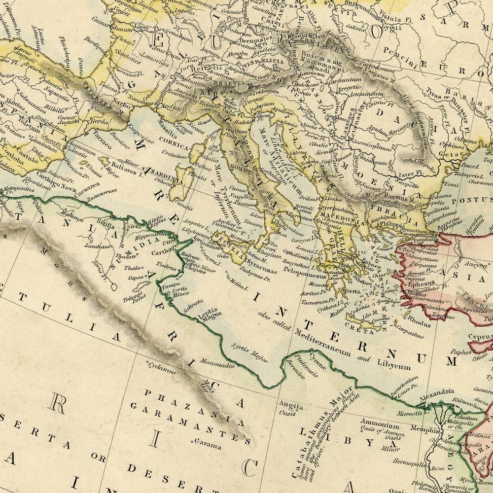
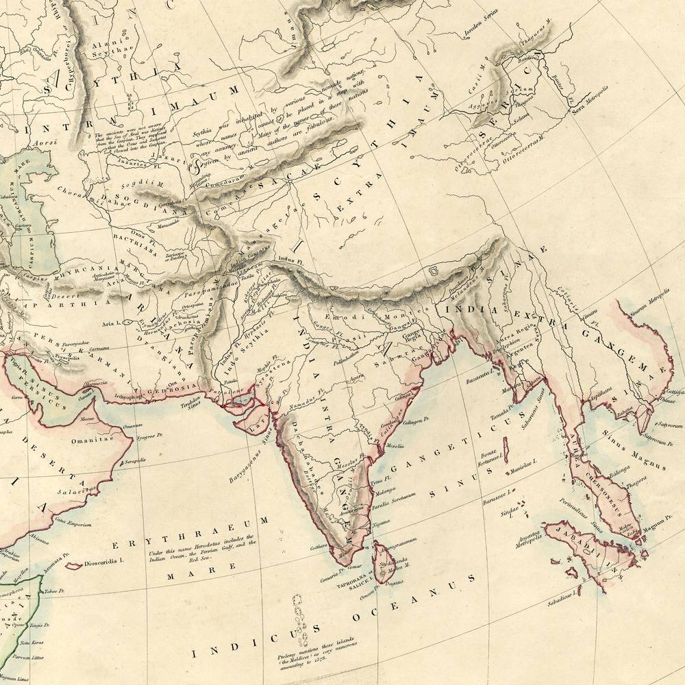
English Map, in 2 Sheets by Chapman & Hall: The Ancient World
Product ID: P0800-154
$1,895.00
About this piece
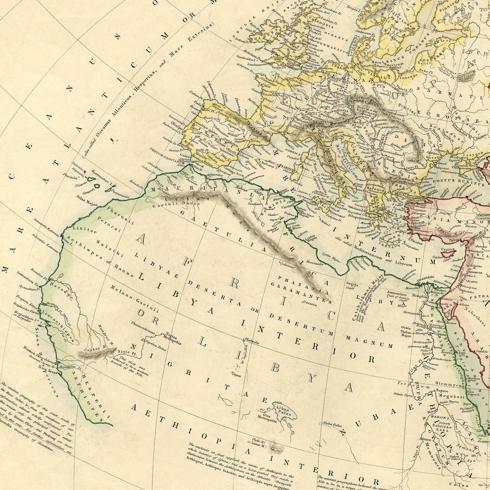
The known world, split down the middle somewhere around Persia.
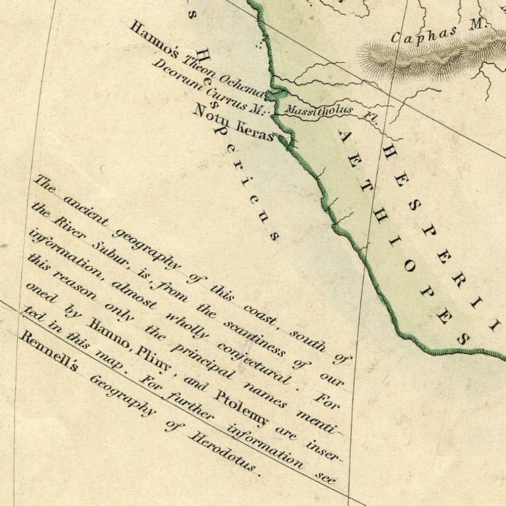
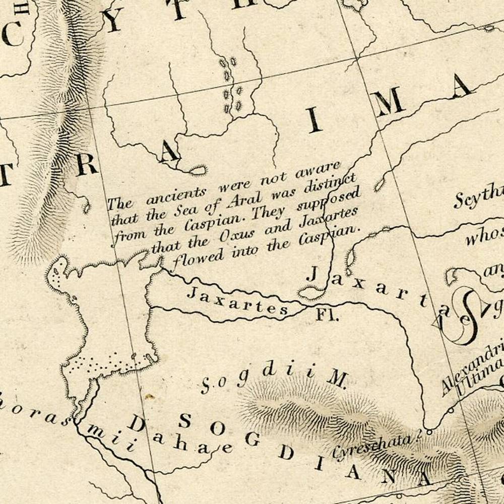
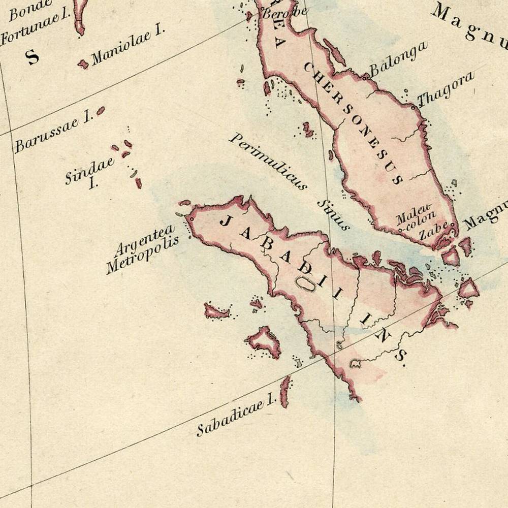
The Ancient World is a map in 2 sheets, a hand colored engraving on paper published by Chapman & Hall in London, England, United Kingdom, and dated 1842. Nineteenth century atlases often included maps of the world as classical writers knew it. The left sheet runs from the British Isles and Europe across the Mediterranean and North Africa. The right sheet carries on through Central Asia to India, with coastlines and borders picked out in green, red and yellow. Fine graticule lines curve across both, and the paper has toned to a warm cream. Together they are 27 inches wide and 16.25 high.
Everything past the edges was presumably still under discussion.
More pieces like this
-
Prints & Engravings Fine Art
Hand Colored Engraving by J.m.w. Turner: Panoramic View of the Dead Sea
$695.00 -
Prints & Engravings Fine Art
Hand Colored Engraving by T. Allom: Mandarin Paying a Ceremonial Visit
$995.00 -
Prints & Engravings Fine Art
Hand Colored Engraving by T. Allom: Entrance Into the City of Amoy
$995.00