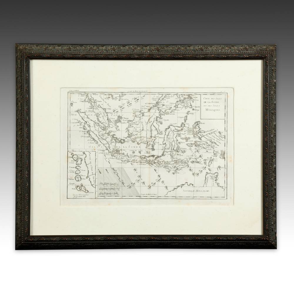
French Map, Framed
Product ID: A010613-674
$795.00
About this piece
Islands scatter across a sheet like crumbs, each one carefully labeled.
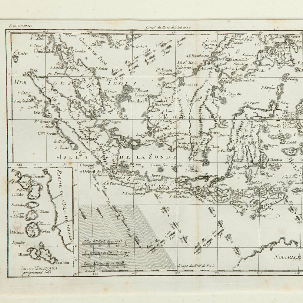
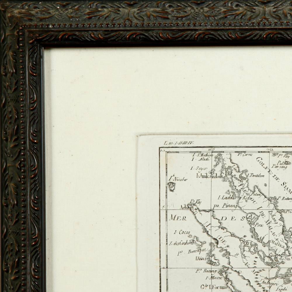
This framed map is from France, dated 1755, ink on paper. Eighteenth century French mapmakers produced engraved charts of distant seas, often with small inset maps and scale bars set into the corners. This sheet shows a chain of islands in Southeast Asia, with a coastline at the upper left and a cartouche at upper right. A small inset sits at lower left, and dotted lines cross the open water. A wide cream mat sits within a dark, carved frame with a leaf pattern. It is 21 inches wide, 2 deep and 16 high.
The cartographer was clearly paid by the island.
More pieces like this
-
Paintings Drawings & Works on Paper
Untitled Figurative Painting by Philippe Cognee, Framed
$15,950.00 -
Contemporary Paintings
French Painting: Le Mur Jaune (The Yellow Wall), Oil on Canvas; Signed Bruno Dufourmantelle, Titled and Dated (Verso)
$18,950.00 -
Paintings Drawings & Works on Paper
Drawing Pastel on Nepal Paper by Bob Meyer: Mouse on the Dance Floor..., Framed
$12,500.00