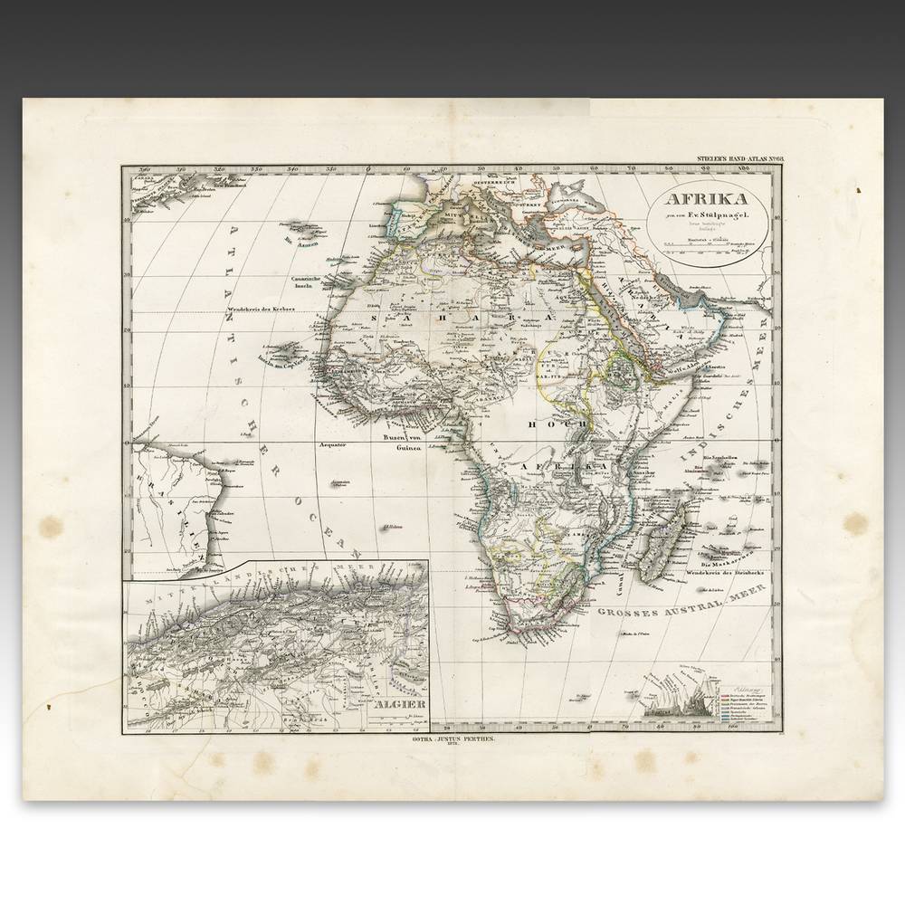
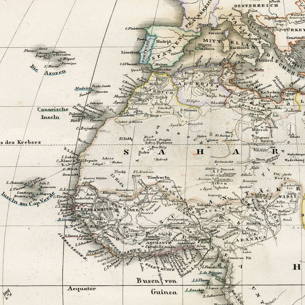
Map by F.v. Stulpnagel: Africa, From Stieler's Hand-atlas
Product ID: P0800-153
$1,295.00
About this piece
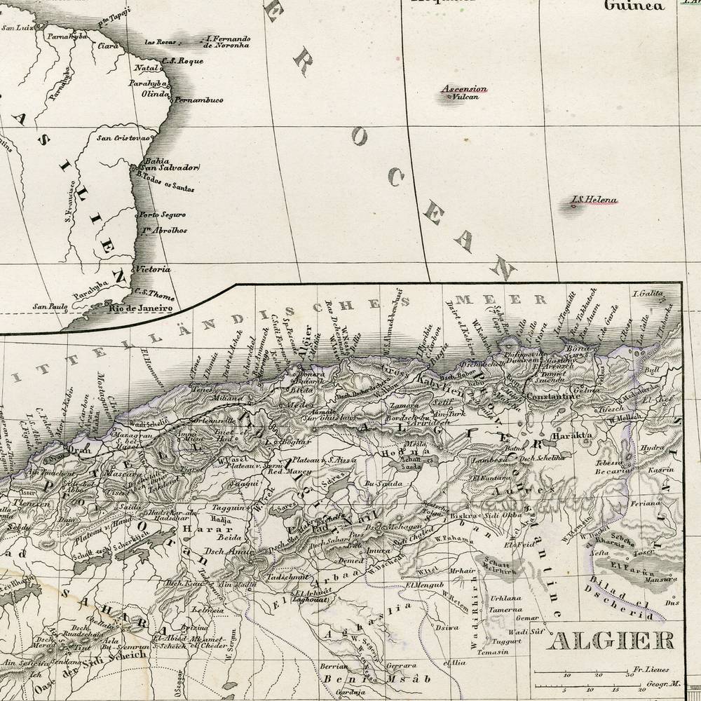
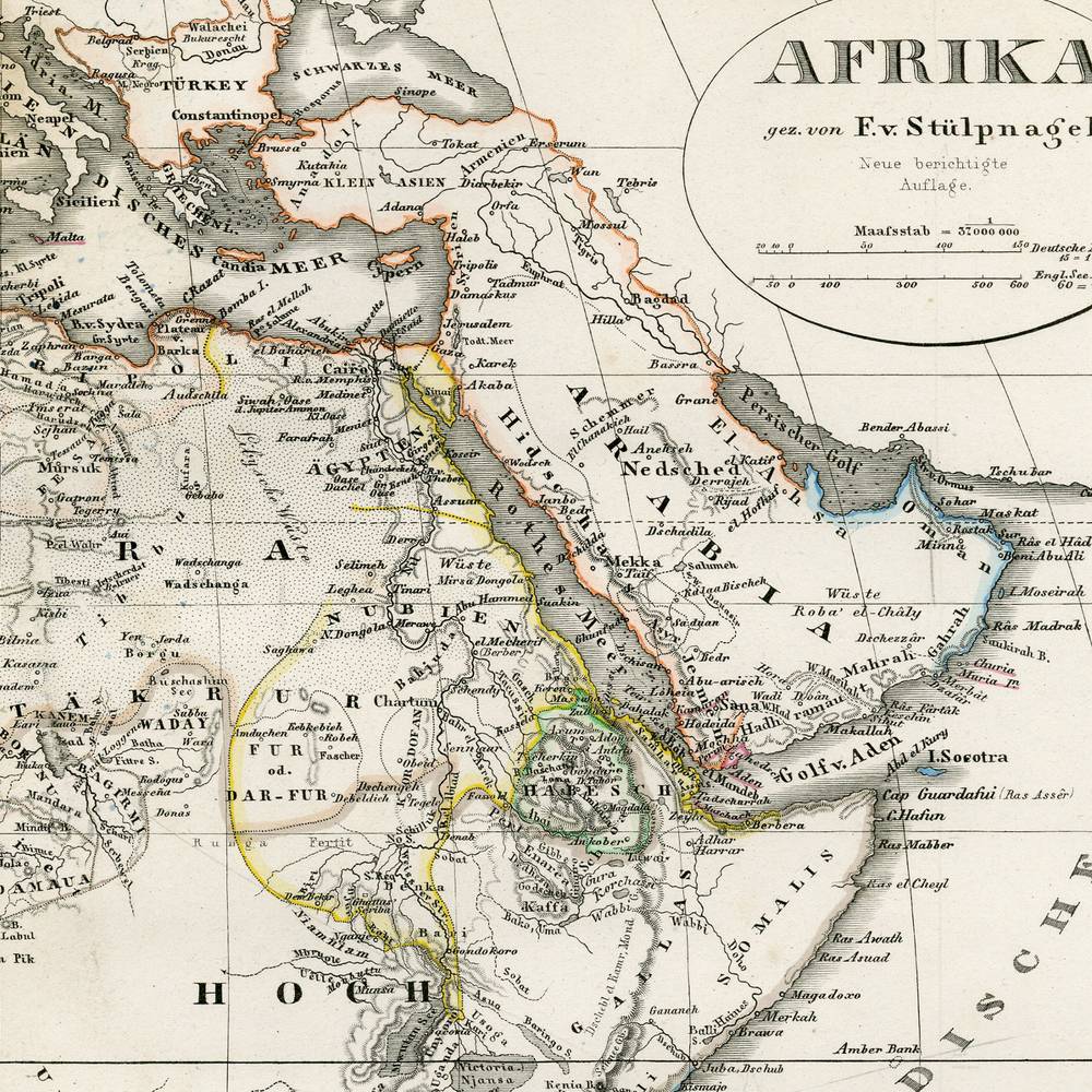
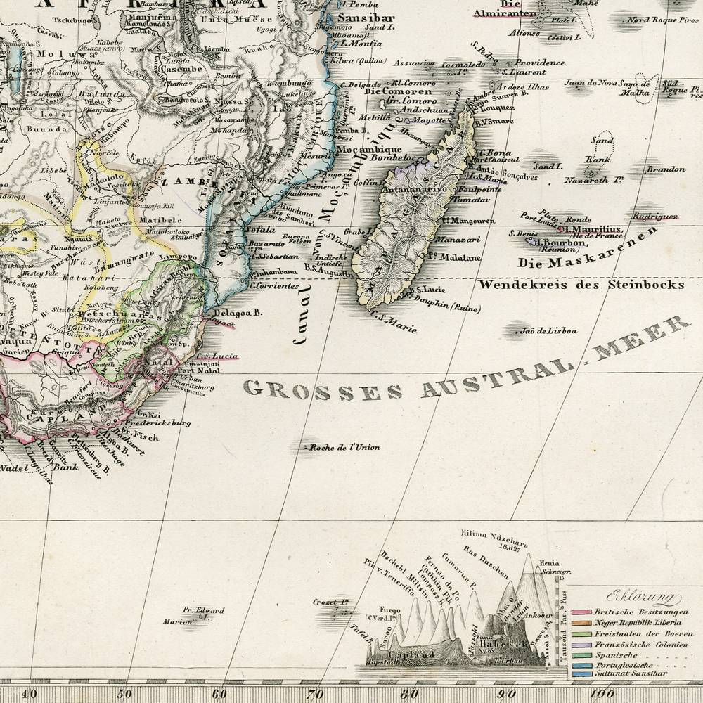
The whole continent, carefully lettered in German, with Algeria in a box of its own.
This map, Africa, from Stieler's Hand-Atlas, comes from Gotha, Germany, and is dated 1876. It is a hand colored engraving on paper, credited to F.v. Stulpnagel. Stieler's Hand-Atlas was one of the most respected German atlases of the 19th century, known for its dense, precise engraving. The continent fills the sheet, labeled AFRIKA, with coastlines and borders traced in pale yellow, green, pink and blue. Two insets sit in the lower left, one showing Algeria. A fine grid of latitude and longitude crosses the oceans. It is 18.5 inches wide and 15.2 high.
A great deal of Africa, and a great deal of patience.
More pieces like this
-
Photographs, Documents & Maps Fine Art
Map of the Heavens by Johann Bode: Vorstellung Der Gestirne (Presentation of the Stars), Hercules, Framed
$3,495.00